Critical loads/levels are defined as ‘the atmospheric deposition/concentration of atmospheric pollutants below which adverse effects on receptors such as human beings, plants, ecosystems or materials do not occur according to present scientific knowledge’. Critical loads/levels exceedance maps show the difference between the critical load/level and the mapped monitored or modelled air pollutant load/levels and therefore show in which areas across Europe receptors are at risk from adverse effects of air pollutants. Details on modelling and mapping critical loads/levels of air pollutants are described in the Modelling and Mapping Manual of the LRTAP Convention.
Details on modelling and mapping critical levels of air pollutants for vegetation can be found in:
Chapter 3 of the Modelling and Mapping Manual.
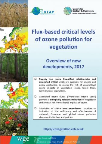
The latest version of Chapter 3 was considerably revised for ozone after adjustments to the methodology and approval of 21 flux-based critical levels for vegetation at the 30th ICP Vegetation Task Force meeting, 14 – 17 February 2017, Poznan, Poland. No changes were made to concentration-based critical levels for ozone and to critical levels for sulphur, nitrogen oxides and ammonia.
Further supporting information for Chapter 3 of the Modelling and Mapping Manual is provided here:
Scientific Background Document A (SBD-A).
and
Scientific Background Document B (SBD-B).
Scientific Background Document B contains information on parameterisation of the DO3SE model (https://www.sei-international.org/do3se) for additional crop and tree species. In addition, it describes developing areas of ozone research and the application of methodologies to further develop ozone critical levels for vegetation in the future.
A summary of the ozone flux-based critical levels for vegetation is provided here.